
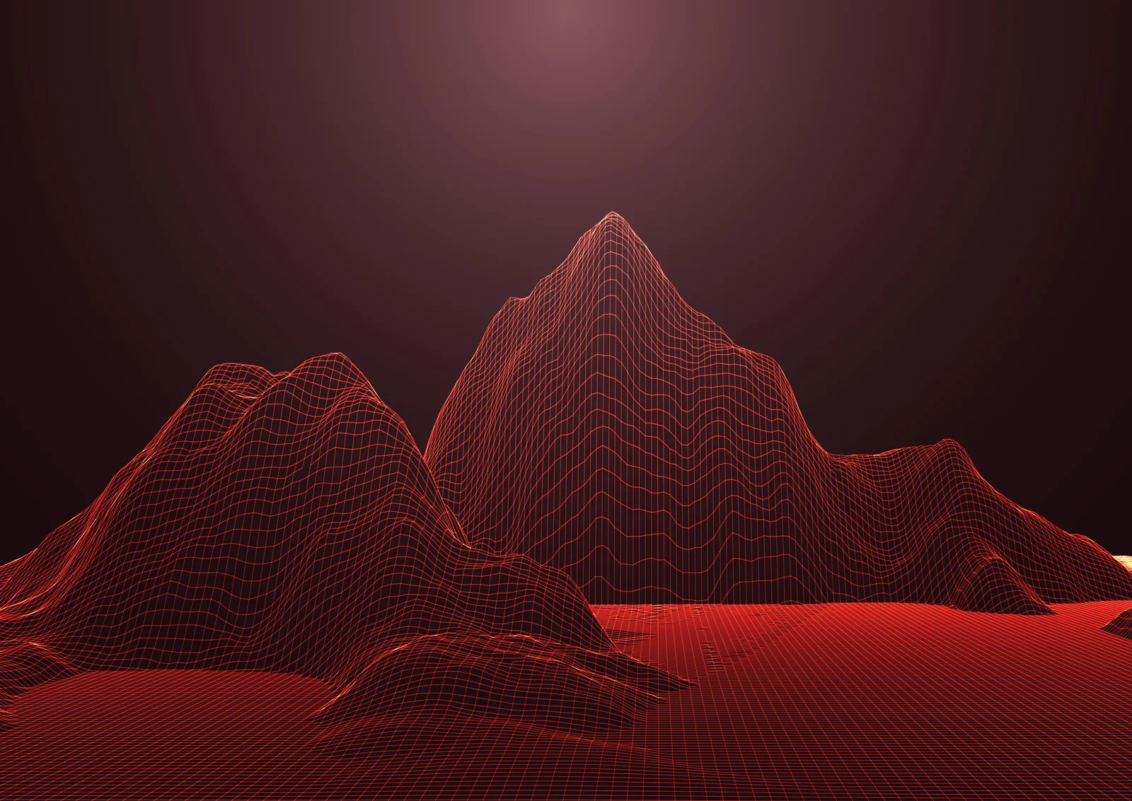
TRANSFORMING REALITY INTO DIGITAL PRECISION
Advanced 3D LiDAR Scanning & Scan to BIM Solutions
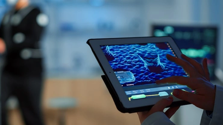
INNOVATIVE AR/VR EXPERIENCES
Immersive Digital Visualization
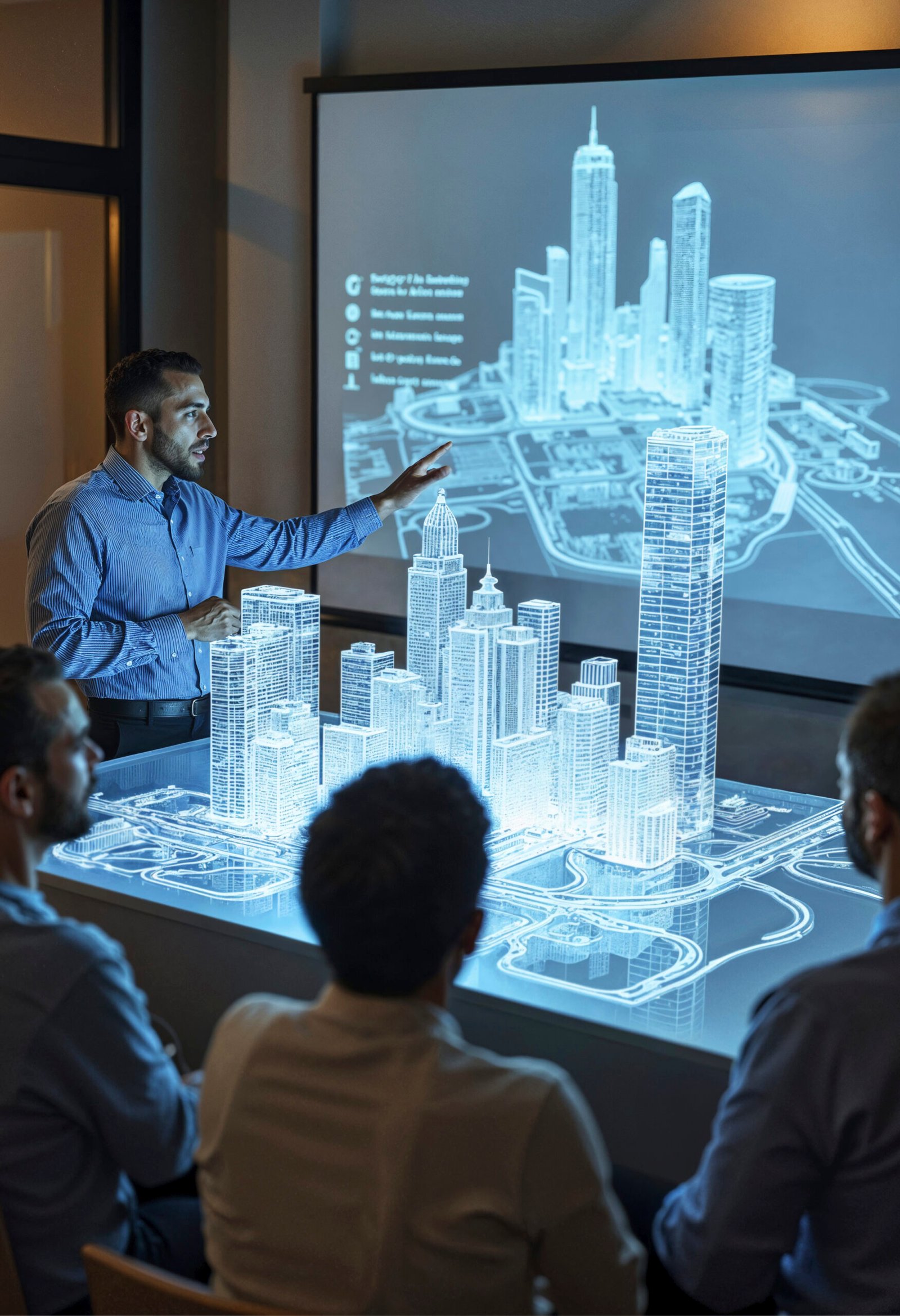
BUILD SMARTER WITH BIM
Accurate Scan to BIM Modeling
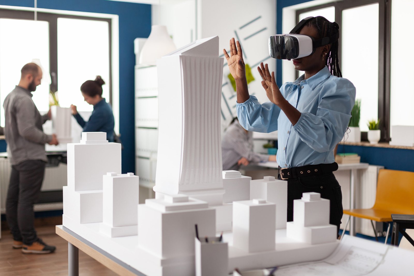
Immersive Digital Visualization
INNOVATIVE AR/VR EXPERIENCES
01
04
Scroll
© 2026 SHAYONA TECH, All rights reserved.