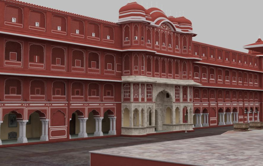
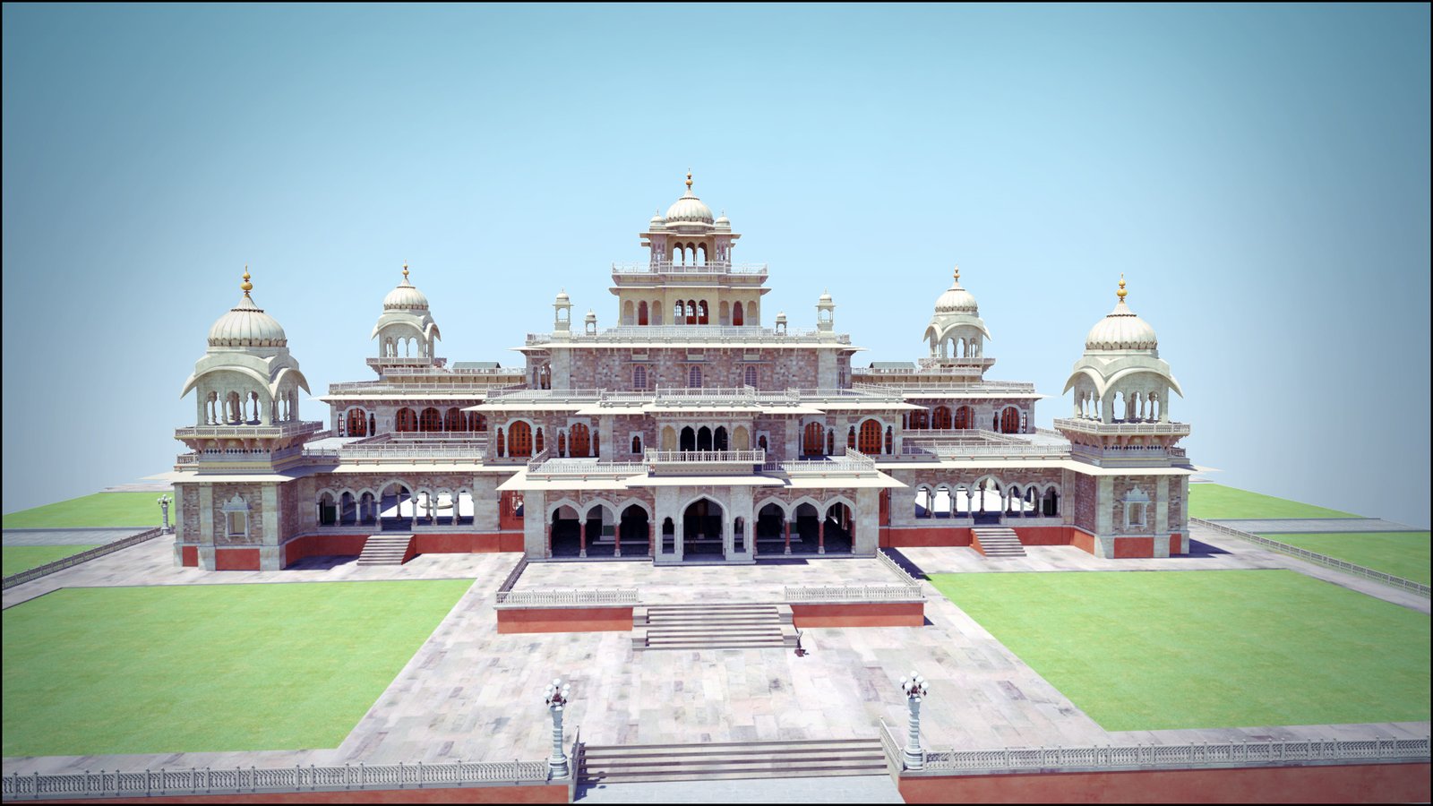
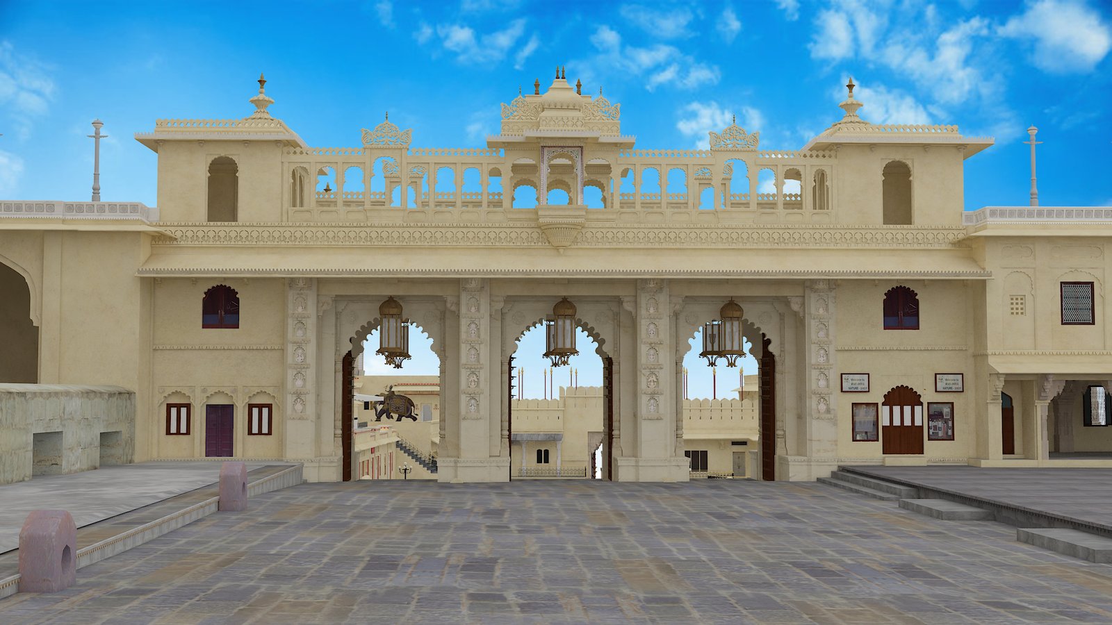
Founded in 2012, our company specializes in delivering advanced 3D LiDAR scanning and Scan to BIM solutions across industries. With a strong team of BIM experts, we transform complex point cloud data into accurate and intelligent 3D models.
We serve sectors like architecture, engineering, construction (AEC), infrastructure, and media & entertainment. Our mission is to bridge the gap between physical and digital worlds using cutting-edge technologies like AR, VR, and drone surveys.
We focus on precision, innovation, and client satisfaction, ensuring every project meets global standards.
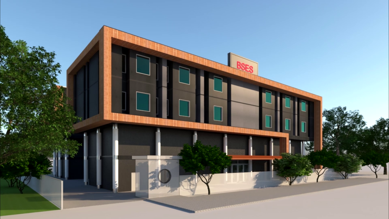
We believe in delivering end-to-end project management solutions that combine creativity, precision, and efficiency. From initial concept to final execution, our team ensures every detail is carefully planned and perfectly delivered. Our approach focuses on seamless coordination, innovative design strategies, and advanced technologies to create spaces that are not only visually stunning but also highly functional. We work closely with our clients to understand their vision and turn it into reality with excellence and speed.
OUR SKILLS
The Core Company Values
××××
Accuracy & Precision
Delivering highly accurate point cloud data and BIM models with reliable measurements and minimal deviations for design, construction, and facility management.
××××
Innovation & Technology
Continuously adopting advanced LiDAR scanning, reality capture, and automation tools to enhance efficiency, quality, and client outcomes across every project.
××××
Quality Assurance
Every dataset and model undergoes rigorous quality checks to meet international standards and project-specific requirements before delivery.
××××
Client-Centric Approach
Prioritizing a deep understanding of client needs to deliver customized solutions aligned with project goals, timelines, and budget constraints.
××××
Efficiency & Delivery
Optimizing workflows and resources to ensure timely project delivery without ever compromising on data quality or model precision.
××××
Data Security
All scanned data and project information are securely handled and protected from unauthorized access throughout the entire project lifecycle.
××××
Sustainability
Supporting sustainable construction by enabling accurate planning, reducing rework, and minimizing material wastage through precise digital twins.
OUR SKILLS
The Core Company Values
0%
Illustration
We create engaging illustrations to simplify complex ideas and improve visual communication.
0%
Interior Design
We enhance interior planning with accurate 3D modeling and spatial visualization.
0%
Architecture
Complete architectural solutions powered by precise data and BIM workflows.
0%
3D Modeling
High-quality 3D models for design, analysis, and visualization across industries.
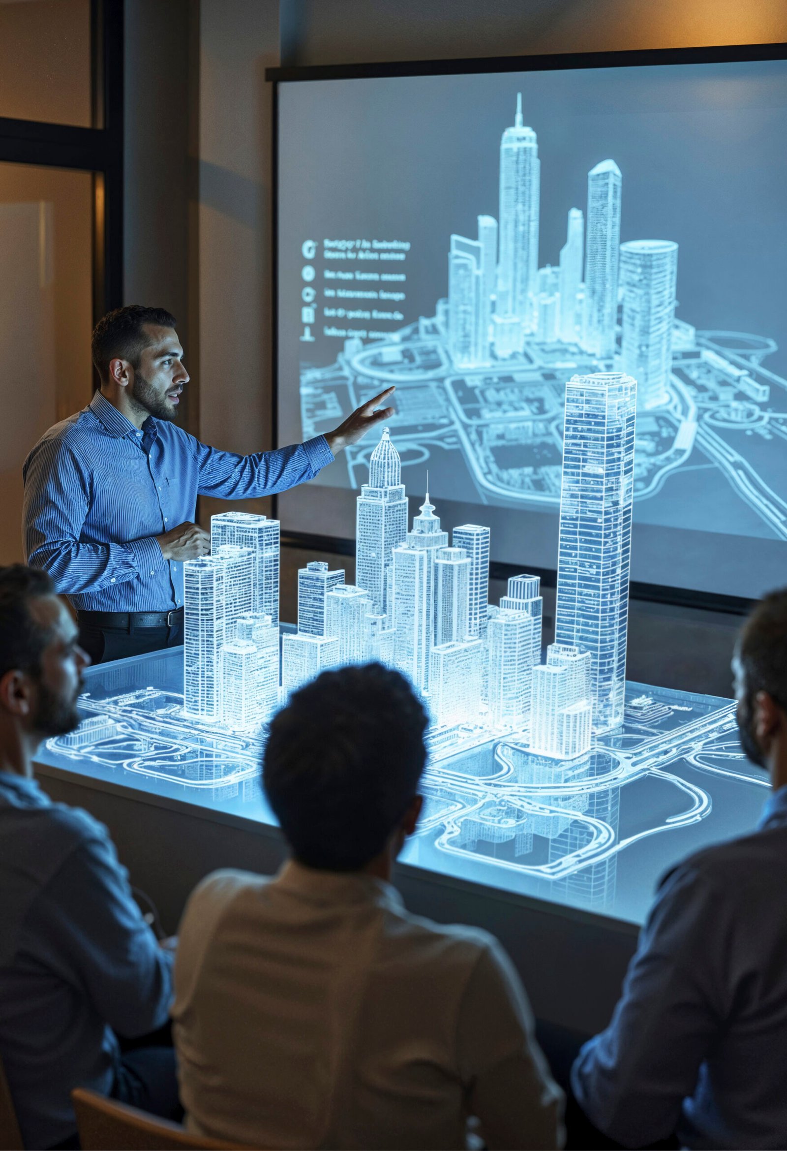
WHAT CAN WE OFFER
Our Services
3D LiDAR Scanning
Capture real-world environments with high accuracy using advanced laser scanning technology.
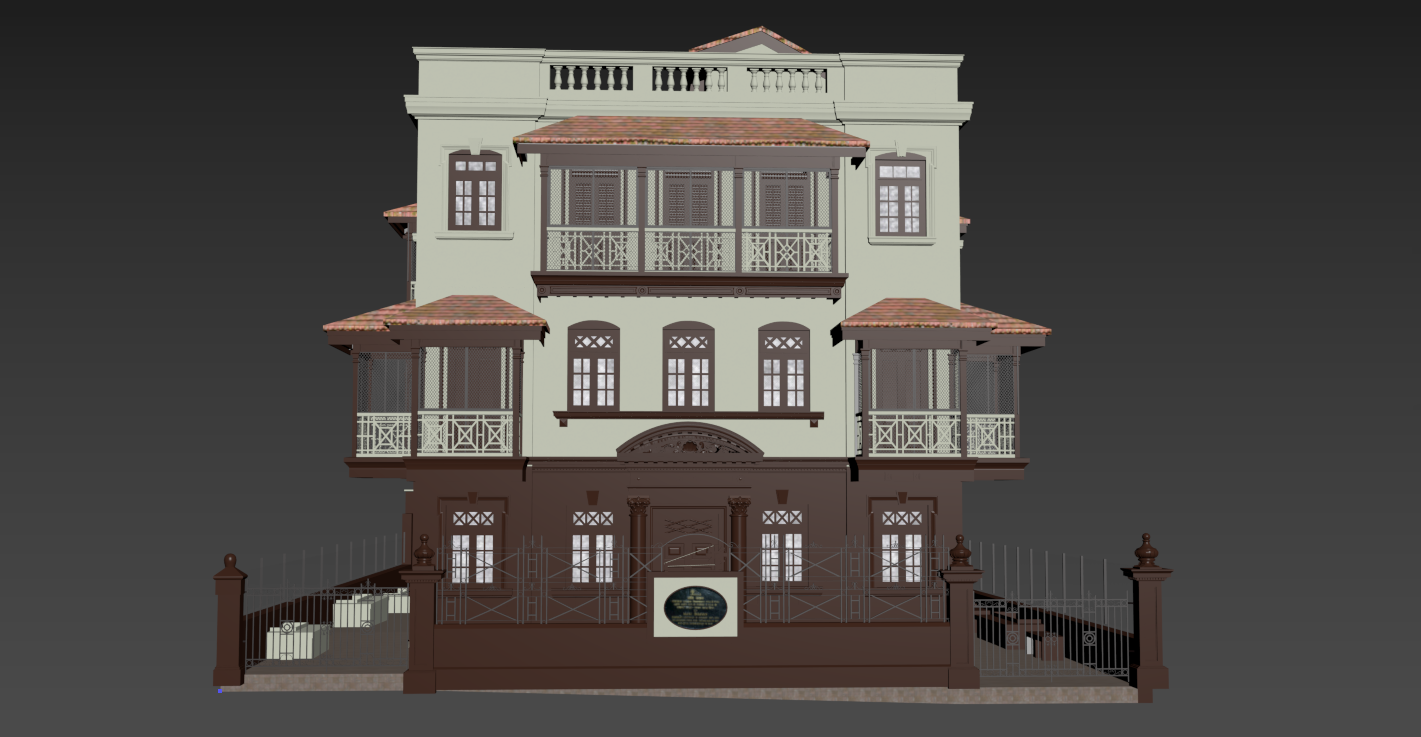
LiDAR (Light Detection and Ranging) is an advanced remote sensing technology that uses laser pulses to measure distances and create highly accurate 3D maps of environments.
LiDAR works by emitting laser beams toward surfaces and measuring the time it takes for them to return. This data is used to calculate precise distances and generate detailed 3D point cloud models.
LiDAR is widely used across industries, including:
– Autonomous vehicles
– Environmental monitoring
– Heritage preservation
– Agriculture & forestry
– Urban planning
– Geological surveys
– Disaster management
2D LiDAR measures distances in a single plane, while 3D LiDAR captures data in multiple dimensions, creating detailed and realistic 3D models.
LiDAR offers high accuracy, fast data collection, and reliable performance in various lighting conditions, making it ideal for precise mapping and analysis.